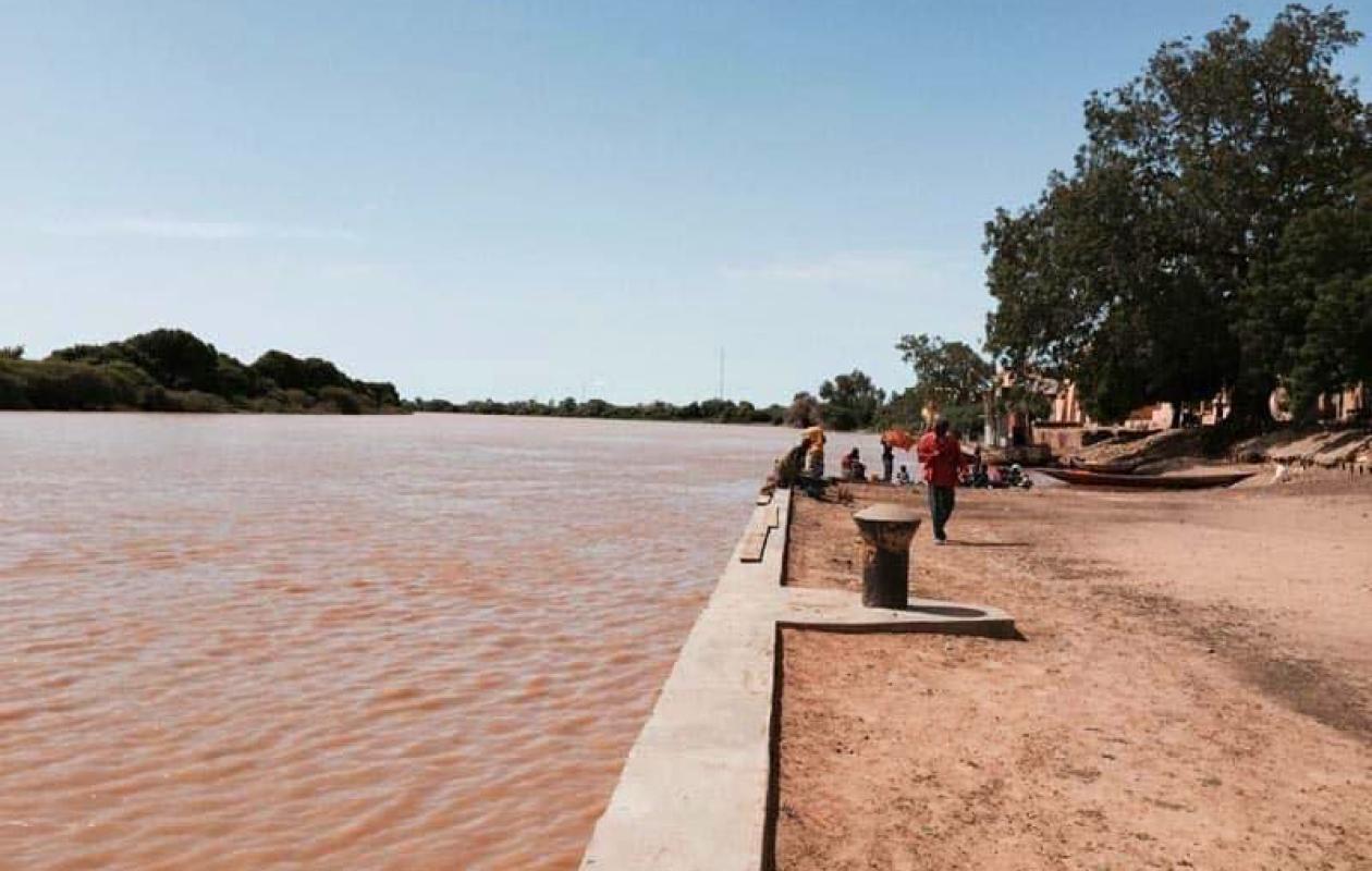
Bassin du fleuve Sénégal : niveaux en baisse à Manantali, Bakel et Matam, bien en dessous de 2025
Water levels in the Senegal River basin continue to fall across all stations, according to the hydrological bulletin of August 27, 2026 at 8:00 a.m., and remain significantly lower than those recorded at the same time in 2025.
At the Manantali dam, upstream, the water level of the Bafing reservoir is 199.65 m, compared to 203.97 m a year earlier. The turbine flow rate is 197 m³/s, compared to 204 m³/s in 2025. As a reminder, the normal reservoir level is 208.05 m (IGN datum) and the exceptional level is 211 m.
On the tributaries, the trend is contrasting. On the Falémé at Kidira, the water level rises slightly by 2 cm to 3.73 m, compared to 8.38 m in 2025. On the Bakoye at Oualia, it falls by 3 cm to 2.92 m, compared to 4.94 m last year.
The Senegal River is also receding at Bakel, where the water level is 5.42 m, down 6 cm between Wednesday and Thursday, compared to 9.72 m in 2025. The alert level there is set at 10 m. At Matam, the level, which was 5.08 m yesterday, has fallen by 14 cm to 4.94 m, compared to 8.05 m in 2025, with an alert level of 8 m.
Further downstream, at Richard-Toll, the water level is almost stable at 2.73 m, down 1 cm over 24 hours and below the 2025 level of 2.82 m. The alert level is 3.35 m. At Diama, upstream of the dam, the level has risen to 2.13 m compared to 1.71 m in 2025.
The flow rate, however, is significantly lower at 928 m³/s, compared to 1580 m³/s last year. According to managers, the upstream water level is being lowered to prepare for the flood.






















Commentaires (0)
Participer à la Discussion
Règles de la communauté
💡 Astuce : Utilisez des emojis depuis votre téléphone ou le module emoji ci-dessous. Cliquez sur GIF pour ajouter un GIF animé. Collez un lien X/Twitter, TikTok ou Instagram pour l'afficher automatiquement.
Se connecter
Commentez avec votre profil, votre photo, et soyez averti des réponses.