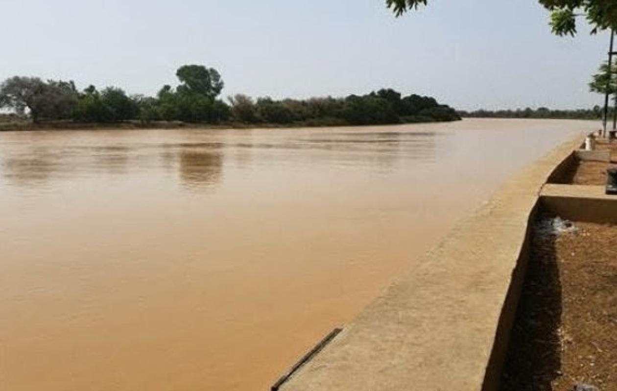
Crue du fleuve : Podor et Richard-Toll sur une pointe sensible
Across the entire Senegal River basin, the water level has begun to recede. Levels are falling and, for the most part, remain lower than those observed at the same time last year.
Upstream, the situation is under control. At Manantali, the reservoir level is 208.15 m, practically the same as in 2025 (208.14 m), slightly above the normal level of 208.05 m but well below the exceptional threshold of 211 m. The dam is releasing 694 m3/s, a level that allows for regulating the downstream flow without causing undue stress.
The tributaries confirm this trend towards calmer water levels. The Falémé River at Kidira dropped from 3.71 m to 3.34 m in 24 hours, a decrease of 37 cm. It stood at 3.42 m last year. The Bakoye River at Oualia is following the same trend, with a level of 3.02 m this morning compared to 3.18 m yesterday, although it remains slightly above its 2025 level.
On the river, the two major stations of the upper basin breathe.
According to the water resources bulletin, the water level in Bakel is 7.05 m, compared to 6.92 m projected for 2025. With an alert level of 10 m, there is a comfortable margin of nearly three meters. The trend is a decrease of 35 cm.
In Matam, the water level is at 6.56 m. That's almost a meter lower than at the same time last year (7.53 m). In 24 hours, the river has dropped 14 cm. Far from the alert level set at 8 m, the situation does not present any immediate danger.
Attention is focused further downstream.
At Podor, the river has risen by 2 cm to 4.37 m. The level is well below the 5.75 m of 2025, but the station is now only 63 cm from its alert level of 5 m.
The same situation was observed at Richard-Toll. The water level is at 3.00 m, up 3 cm, compared to 3.12 m last year. The alert level is at 3.35 m. There is only 35 cm of margin left. This is the most critical station of the day.
Further down, the maneuver is deliberate. At Diama upstream, the water level is at 2.15 m, higher than in 2025 (1.62 m), but with a much lower discharge: 1222 m³/s compared to 1849 m³/s last year. The brigade explains that it is gradually lowering the water level to prepare for the end of the flood without impacting Saint-Louis and to facilitate drainage towards the river mouth.
In Saint-Louis, the river is at 1.17 m compared to 1.44 m in 2025, with an alert level of 1.75 m. The margin is 58 cm.
In summary: no major flooding in sight, a general decrease in water levels is taking place.



















Commentaires (2)
Participer à la Discussion
Règles de la communauté
💡 Astuce : Utilisez des emojis depuis votre téléphone ou le module emoji ci-dessous. Cliquez sur GIF pour ajouter un GIF animé. Collez un lien X/Twitter, TikTok ou Instagram pour l'afficher automatiquement.
Se connecter
Commentez avec votre profil, votre photo, et soyez averti des réponses.