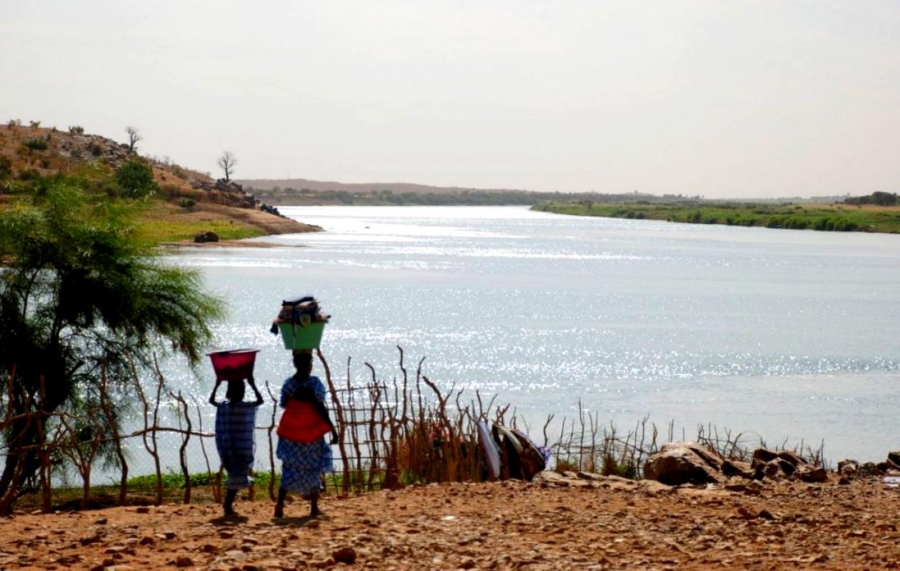
Crue : Le fleuve Sénégal monte à Bakel et baisse en aval
The level of the Senegal River is rising sharply in Bakel, at the far end of the country, but remains falling along the rest of the course and well below the alert levels, according to the hydrological bulletin of August 31 at 8 a.m.
At Bakel, the upstream reference station, the water level rose 66 cm in 24 hours, reaching 6.03 m compared to 5.37 m the previous day. This level, however, is well below that recorded on the same date in 2025, when it reached 9.62 m. The alert level is set at 10 m.
Further downstream, in Matam, the rise is much more moderate, with over 7 cm in 24 hours. The water level is at 5.02 m, compared to 4.95 m yesterday and a projected 8.19 m in 2025. The alert threshold is 8 m.
The trend is reversing on the middle and lower reaches of the river. At Podor, the water level has dropped slightly by 2 cm to 3.48 m, compared to 3.50 m on Saturday. At Richard-Toll, it has fallen by 4 cm to 2.74 m. Both stations are respectively 1.52 m and 0.61 m below their alert thresholds of 5 m and 3.35 m. They were also higher at this time last year.
At the Diama dam, managers anticipated the arrival of the flood. The upstream level is 2.12 m, higher than in 2025 (1.58 m), but the release rate has been reduced to 951 m3/s compared to 1,552 m3/s last year.
"Overall, the upstream level is being lowered to prepare for the passage of the flood without major consequences for Saint-Louis," the bulletin states.
In Saint-Louis, the river is at 0.90 m this morning compared to 1.16 m on August 31, 2025. The city is at 0.85 m below the alert level of 1.75 m.



















Commentaires (0)
Participer à la Discussion
Règles de la communauté
💡 Astuce : Utilisez des emojis depuis votre téléphone ou le module emoji ci-dessous. Cliquez sur GIF pour ajouter un GIF animé. Collez un lien X/Twitter, TikTok ou Instagram pour l'afficher automatiquement.
Se connecter
Commentez avec votre profil, votre photo, et soyez averti des réponses.