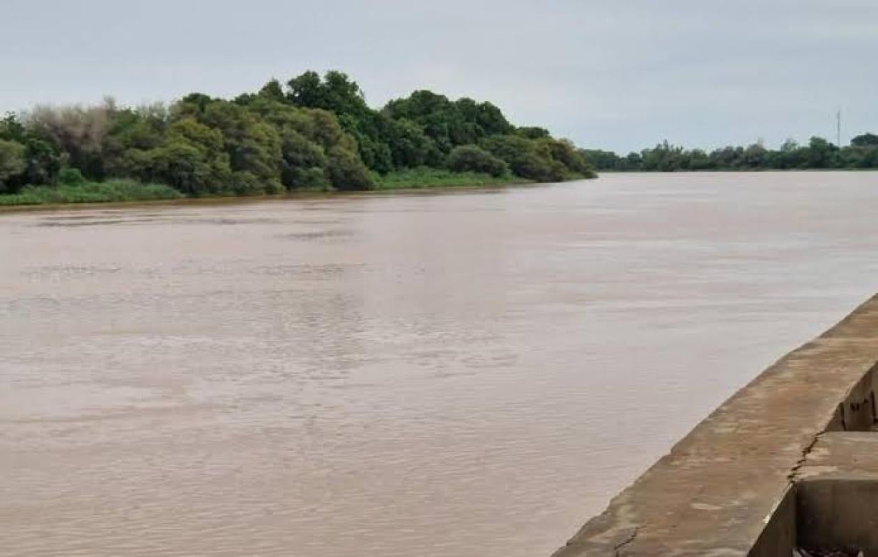
Fleuve Gambie : Forte baisse des niveaux d’eau à Kédougou et dans plusieurs stations
Water levels in the Gambia River and several of its tributaries are experiencing a significant drop at the hydrometric stations in the Kédougou region. According to the daily hydrological bulletin from the Tambacounda-Kédougou Water Resources Brigade, issued on October 1, 2026 at 8:00 AM, the trend is clearly towards a decrease in water levels.
In Kédougou, the water level dropped from 5.80 meters on September 30th to 4.84 meters on October 1st, a decrease of 96 centimeters in 24 hours. The recorded level is also 77 centimeters lower than that observed on the same date in 2025. With the alert level set at 7 meters, the current level is now 2.16 meters below the critical threshold.
The drop is also significant at Mako, where the water level fell from 5.03 to 4.60 meters, a decrease of 43 centimeters in one day. Compared to the alert level of 6 meters, the station shows a safe margin of 1.40 meters.
In Simenti, the water level is 11.87 meters, compared to 12.08 meters the previous day, a decrease of 21 centimeters. Despite this drop, the level remains 1.13 meters below the alert level set at 13 meters.
The Diaguiri station also recorded a significant drop: the level there fell from 4.94 to 4.07 meters, a decrease of 87 centimeters in 24 hours. The gap with the alert level of 6 meters is now 1.93 meters.
In Thiokoye, the decline is even more pronounced. The water level dropped from 5.99 to 4.93 meters, a decrease of 1.06 meters in a single day. The report indicates a year-on-year decrease of 1.13 meters. Meanwhile, the Diarha Pont station confirms this sharp downward trend, with the level falling from 3.16 to 2.45 meters, a decrease of 71 centimeters in 24 hours.
Only two stations show the opposite trend. At Gouloumbou, the level rose from 9.35 to 9.55 meters, an increase of 20 centimeters in 24 hours. At Niokolokoba, the water level increased by the same amount, from 5.70 to 5.90 meters.
According to the summary table, six of the eight monitored stations recorded a decrease in water levels, while only two experienced a slight rise in water levels.
This development reflects a general decline over a large part of the Gambia River basin, temporarily reducing the risk of flooding, with none of the recorded heights exceeding the alert levels set for the region.



















Commentaires (0)
Participer à la Discussion
Règles de la communauté
💡 Astuce : Utilisez des emojis depuis votre téléphone ou le module emoji ci-dessous. Cliquez sur GIF pour ajouter un GIF animé. Collez un lien X/Twitter, TikTok ou Instagram pour l'afficher automatiquement.
Se connecter
Commentez avec votre profil, votre photo, et soyez averti des réponses.