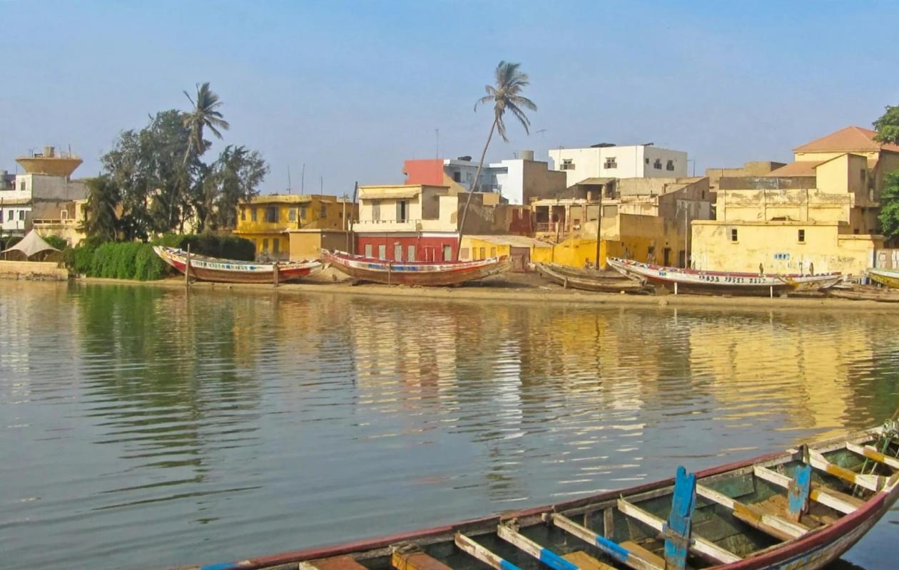
Fleuve Sénégal entre crue et décrue : En 2025, on fuyait l'eau. En 2026, on la cherche. Le constat d'une année atypique
The latest BRE-SL hydrological bulletin accurately summarizes the current situation on the Senegal River. It notes a rise in water levels that is not yet noticeable and a drop that is starting too early.
A striking paradox
This morning at 8 a.m., water levels were rising on the tributaries. At Kidira, the Falémé River rose from 6.67 m yesterday to 7.55 m this morning, an increase of 88 cm. At Oualia, the Bakoye River rose from 4.49 m to 4.83 m, a gain of 34 cm.
However, on the main river in the Northeast, water levels are falling. In Bakel, the water level dropped from 7.43 m yesterday to 7.38 m today, a decrease of 5 cm. In Matam, the decrease is more significant: from 6.99 m to 6.70 m, a drop of 29 cm.
Further downstream, a slight increase resumes: Podor reaches 3.99 m, 5 cm higher; Richard-Toll is at 2.79 m with a slight gain of 1 cm; and Saint-Louis shows 1.25 m.
No station is currently on alert. This is the crucial point. As a reminder, the alert levels are: Bakel at 10 m, Matam at 8 m, Podor at 5 m, Richard-Toll at 3.35 m and Saint-Louis at 1.75 m.
Flashback to 2025: the year we fled from the water
To understand the situation in 2026, we need to look back at the previous year. In 2025, at the same time of year, Bakel's water level was 11.24 m, compared to 7.38 m today. Matam's water level was 8.76 m, compared to 6.70 m today, exceeding its alert threshold at the time.
In September 2025, the water level in Bakel exceeded 10.46 m. The families of Ballou and Arounda were relocated to schools, and the OMVS announced a critical flow rate reaching between 3,884 and 5,014 m³/s in Bakel, with a critical threshold of 11 m. A red alert was in place from Bakel to Matam.
2026: The year we search for water. The role of dams.
The dams reveal the reasons for this atypical year. At Manantali this morning, the Bafing River is at a level of 206.61 m, compared to the 208.23 m projected for 2025. This figure is below the normal level of 208.05 m and far from the exceptional level of 211 m. The turbine flow rate is only 179 m³/s. The reservoir has not been filled, and water is being conserved.
Downstream in Diama, space is being made. The water level is currently at 2.17 meters, compared to the projected 1.5 meters in 2025. However, the release rate is only 1095 m³/s, down from 1727 m³/s last year. According to the Brigade, the upstream water level is being lowered to accommodate the flood without significant impact on Saint-Louis. This process allows the water to be directed towards Saint-Louis and the river mouth.
Two opposing approaches to managing the same dry year. Manantali retains water while Diama frees up space to evacuate the wave coming from the tributaries and protect Saint-Louis which remains below its alert threshold.
Between flood and receding waters: the agricultural challenge
We are neither experiencing a dangerous flood nor a complete drought. It's a delicate balance. Upstream tributaries are providing a surplus of water, but the main river has already begun to recede. Hence the decision made in Matam to immediately launch a counter-season planting campaign using short-cycle seeds, including hybrid corn.


















Commentaires (0)
Participer à la Discussion
Règles de la communauté
💡 Astuce : Utilisez des emojis depuis votre téléphone ou le module emoji ci-dessous. Cliquez sur GIF pour ajouter un GIF animé. Collez un lien X/Twitter, TikTok ou Instagram pour l'afficher automatiquement.
Se connecter
Commentez avec votre profil, votre photo, et soyez averti des réponses.