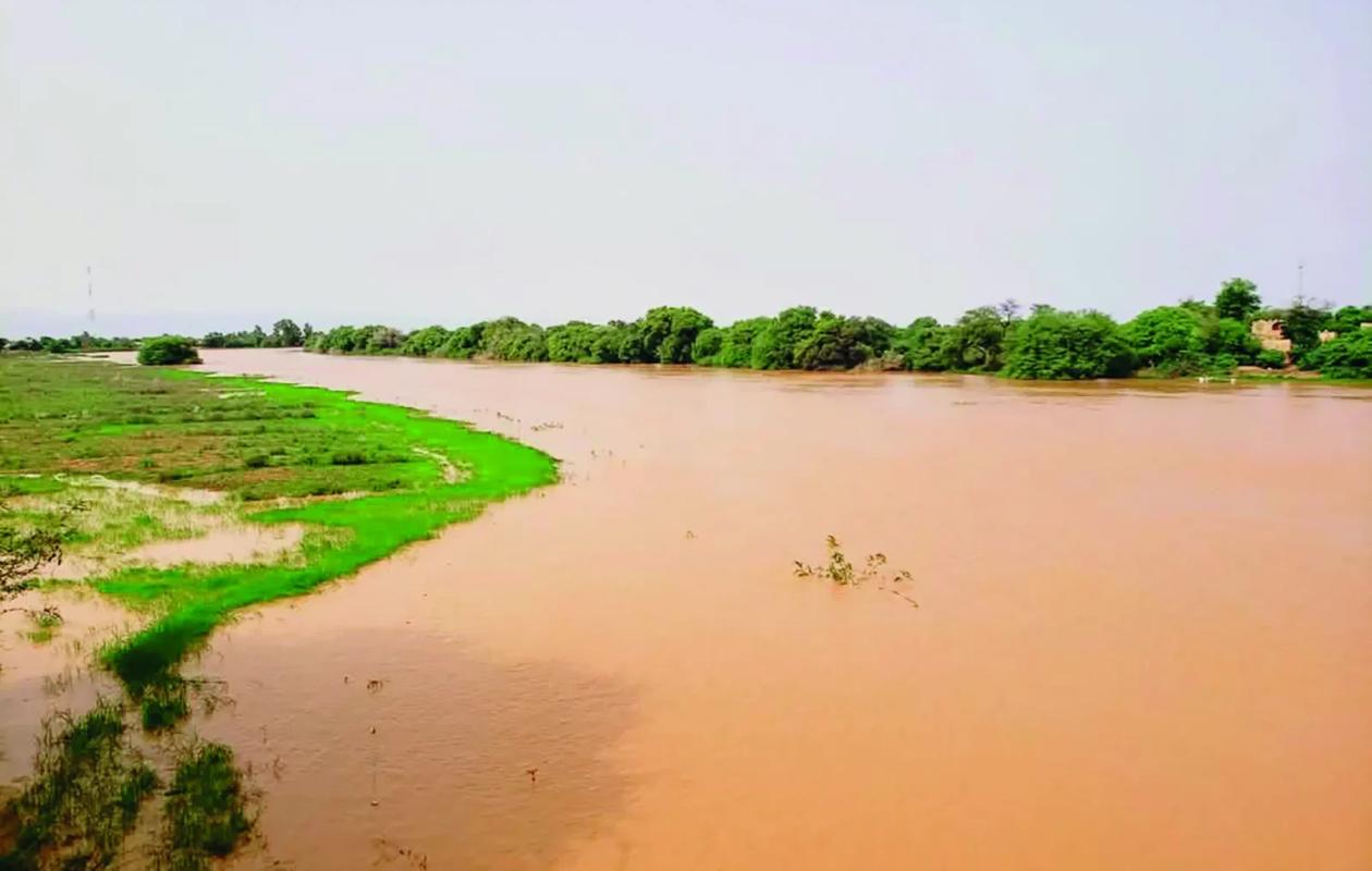
Fleuve Sénégal : les niveaux poursuivent leur progression à Bakel, Matam et Podor
The water levels of the Senegal River and its main tributaries remain highly variable, varying from one station to another. Measurements taken this Friday, August 21, 2026, at 8:00 AM show a rise in water levels at Bakel, Matam, and Podor, while the Bakoye River has seen a slight decrease at Oualia.
At the Kidira station on the Falémé River, the water level rose from 2.59 m on Thursday, August 20th at 8:00 AM to 2.70 m this Friday at the same time, representing a rise of 11 cm in 24 hours. However, the level remains significantly lower than that recorded at the same time in 2025, which was 8.63 m.
On the Bakoye River in Oualia, the situation is different. The water level has dropped from 3.18 m to 3.12 m, a decrease of 6 cm in one day. There too, the gap with the 2025 level remains significant: the level was then 4.64 m.
In Bakel, the river rose by 18 cm
In Bakel, the level of the Senegal River continues to rise. It has increased from 5.48 m to 5.66 m, registering a rise of 18 cm in 24 hours. By comparison, the level reached 9.22 m on the same date in 2025. Despite this rise, the level remains far from the alert level set at 10 meters at the Bakel station.
In Matam, the water level rose from 4.69 m to 4.73 m, an increase of 4 cm. This level remains below the 2025 level of 7.64 m. The alert level there is set at 8 meters.
In Podor, the rise is also 4 cm, with the level increasing from 3.40 m to 3.44 m. In 2025, the river level was 4.05 m at the same time of year. The Podor station is placed under surveillance once the water level reaches 5 meters, the alert threshold.
In Diama, the upstream water level has been lowered.
In Richard-Toll, the increase remains slight. The water level rose from 2.85 m to 2.86 m, a rise of only 1 cm. This level is slightly higher than the 2.71 m projected for 2025.
The station's alert threshold is set at 3.35 meters.
On the Diama side, upstream of the dam, the level of the Senegal river is at 2.13 m on August 21, 2026 at 8 a.m., compared to 1.90 m at the same time in 2025.
The current flow rate is 691 m³/s, compared to 1,250 m³/s in 2025. According to hydraulic data, the upstream water level is being progressively lowered to better prepare for the flood and limit its impact on Saint-Louis. This management also helps regulate the volume of water directed towards Saint-Louis and the river mouth.
Saint-Louis remains below the alert threshold
In Saint-Louis, the river level was measured at 0.97 m this Friday morning, compared to 0.96 m at the same time in 2025. A very limited variation. The alert level is set at 1.75 meters at this station.
Overall, the readings taken on August 21st show a rising trend at several stations along the Senegal River, particularly at Bakel, where the rise reached 18 cm, as well as at Kidira on the Falémé River. However, the recorded levels remain, for the most part, significantly lower than those observed at the same time in 2025 and below the various alert thresholds.


















Commentaires (0)
Participer à la Discussion
Règles de la communauté
💡 Astuce : Utilisez des emojis depuis votre téléphone ou le module emoji ci-dessous. Cliquez sur GIF pour ajouter un GIF animé. Collez un lien X/Twitter, TikTok ou Instagram pour l'afficher automatiquement.
Se connecter
Commentez avec votre profil, votre photo, et soyez averti des réponses.