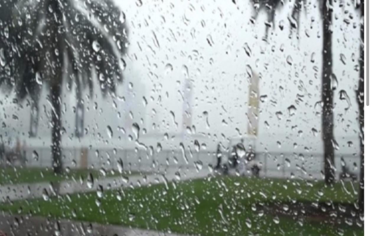
Ces régions du Sénégal qui seront sous l’influence du système pluvio-orageux
A "very active" rain and thunderstorm system accompanied by "strong gusts of wind" is currently crossing Senegal. The alert was issued by the meteorological services.
Starting from the Matam region, the cloud mass is moving from East to West and is expected to sweep across a large part of the national territory during the night.
According to forecasts, before the arrival of the main weather system, localized rainfall will already be occurring in Kédougou, Fatick, Kaolack, Diourbel, Thiès, and to a lesser extent in Dakar. The core of the system will then move across Linguère, Podor, Bakel, Tambacounda, Diourbel, and Kaffrine. Later that night, it will continue its path toward Fatick, Kaolack, Diourbel, and the Casamance region.
For Dakar, Thiès, Saint-Louis, and Louga, the chances of heavy rain remain "low" tonight. However, authorities recommend vigilance, particularly due to the wind gusts that could accompany the system.




















Commentaires (0)
Participer à la Discussion
Règles de la communauté
💡 Astuce : Utilisez des emojis depuis votre téléphone ou le module emoji ci-dessous. Cliquez sur GIF pour ajouter un GIF animé. Collez un lien X/Twitter, TikTok ou Instagram pour l'afficher automatiquement.
Se connecter
Commentez avec votre profil, votre photo, et soyez averti des réponses.