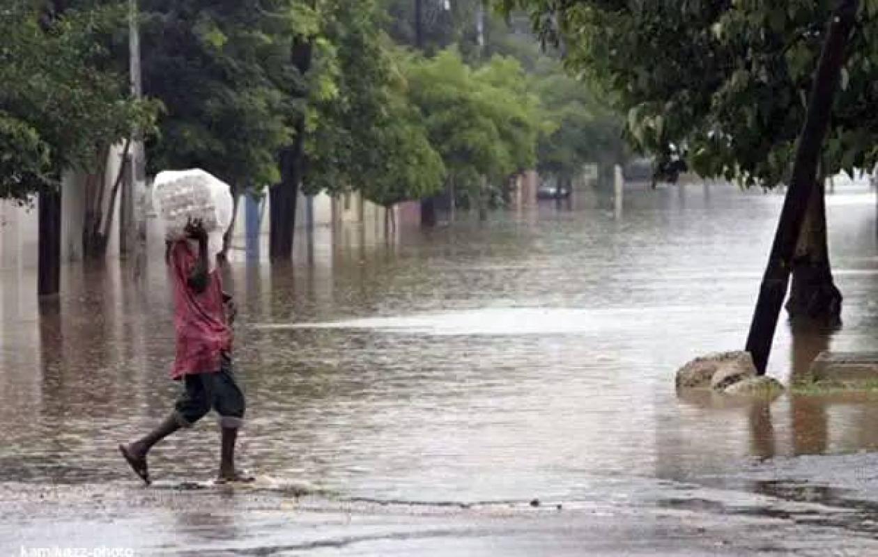
Des orages et des pluies attendus dans plusieurs régions, le point sur la situation jusqu'à jeudi
The very short-term forecast bulletin published this Wednesday evening announces significant rain and thunderstorm activity over a large part of Senegal over the next twenty-four hours.
Starting Wednesday evening, thunderstorms accompanied by light to moderate rain will appear across the entire country. The southern and eastern regions will be the hardest hit, particularly Kédougou, Kolda, Ziguinchor, Cap-Skirring, Tambacounda, Bakel, and Matam. As the day progresses, these rains will move towards the central and northwestern regions, gradually affecting the towns of Nioro, Fatick, Kaolack, Louga, Linguère, and Diourbel.
On the Grande Côte and the central coast, particularly in Mbour, Dakar and Thiès, the probability of rain remains lower, although a very cloudy and dense sky will cover the sky for a good part of the night.
Alongside these periods of rain, the humid heat will continue to stifle the country. Maximum temperatures this Thursday will exceed 39°C in the central, eastern, and northern regions. Visibility will remain generally good across the road network, accompanied by light to moderate winds blowing from the west to southwest.






















Commentaires (1)
Participer à la Discussion
Règles de la communauté
💡 Astuce : Utilisez des emojis depuis votre téléphone ou le module emoji ci-dessous. Cliquez sur GIF pour ajouter un GIF animé. Collez un lien X/Twitter, TikTok ou Instagram pour l'afficher automatiquement.
Se connecter
Commentez avec votre profil, votre photo, et soyez averti des réponses.