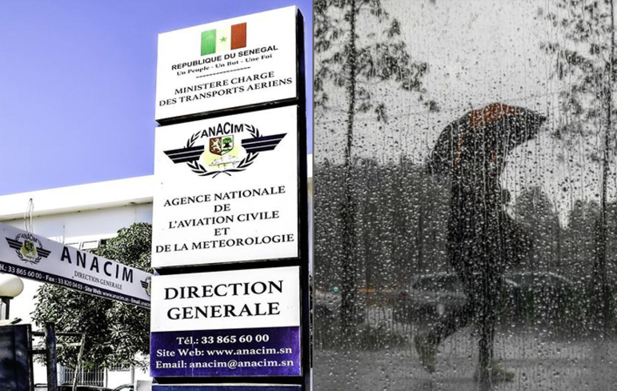
Météo : Fortes pluies et vents violents annoncés, les consignes de prudence de l'Anacim
Starting this Thursday, September 24, 2026, an atmospheric disturbance of exceptional magnitude is expected to cross Senegal, placing Dakar and several western departments under close meteorological surveillance. With rainfall forecasts exceeding 100 mm in less than 48 hours, the risk of flooding is once again looming over the lower-lying areas of the capital and several major urban centers in the interior of the country.
The National Agency for Civil Aviation and Meteorology (ANACIM) has announced a wave of heavy rainfall across the entire country from September 24th to 26th, 2026. This situation is linked to a significant atmospheric disturbance, likely to cause severe weather instability. The risk map prepared by forecasters paints a mixed, but concerning, picture.
In the west and west-central regions of the country, the alert level is particularly high, with rainfall totals potentially exceeding 100 mm in 48 hours. The rest of Senegal is also affected and is under an orange alert, with rainfall forecasts between 50 and 100 mm. In the east, the departments of Matam, Kanel, Bakel, and Goudiry could be exposed to flash floods from surrounding rivers.
In the South, Casamance and eastern Senegal are among the areas particularly affected, including Bignona, Oussouye, Ziguinchor, Sédhiou, Bounkiling, Goudomp, Médina Yoro Foula, Kolda, as well as the southern fringe of Tambacounda and Saraya.
Anacim emphasizes that this event will not be limited to simple downpours. Residents and authorities are warned of the risks of widespread flooding, prolonged stagnation of water in low-lying areas, particularly in the suburbs of Dakar, and the potential closure of strategic roads that could isolate several municipalities.
The rainfall could also be accompanied by strong gusts of wind, which could cause material damage to fragile infrastructure, roofs and electrical networks.
Faced with this threat, the State and local authorities are urged to strengthen their prevention measures. The public is advised to exercise extreme caution, limit non-essential travel during storms, and secure their household electrical installations. Maritime professionals are also asked to suspend their activities due to the forecast of heavy swells. The next 72 hours will be crucial for the entire country.




















Commentaires (0)
Participer à la Discussion
Règles de la communauté
💡 Astuce : Utilisez des emojis depuis votre téléphone ou le module emoji ci-dessous. Cliquez sur GIF pour ajouter un GIF animé. Collez un lien X/Twitter, TikTok ou Instagram pour l'afficher automatiquement.
Se connecter
Commentez avec votre profil, votre photo, et soyez averti des réponses.