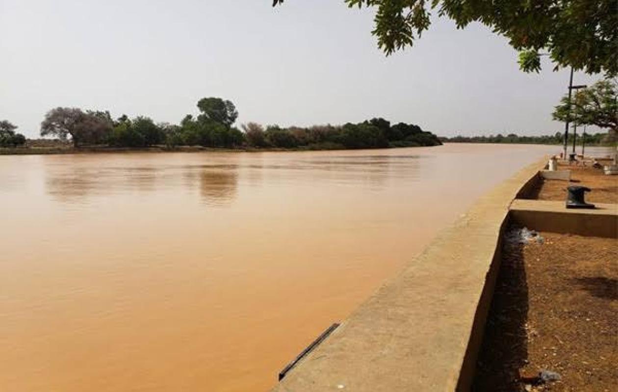
Fleuve Gambie : hausse des niveaux d’eau dans plusieurs stations
The hydrological situation of the Gambia River and its main tributaries is marked, as of Tuesday, August 25, 2026, by rising water levels at several stations, according to the daily hydrological bulletin from the Tambacounda/Kédougou Water Resources Brigade. At 8:00 a.m., readings showed contrasting trends from one station to another, with levels remaining below the various alert thresholds.
In Kédougou, the river level reached 4.22 meters, compared to 3.93 meters the previous day, representing a rise of 29 centimeters in 24 hours. With the alert level set at 7 meters, the difference remains at 2.78 meters. The recorded level is also slightly higher than that observed on the same date in 2025, with an inter-year increase of 24 centimeters.
The rise is even more pronounced in Thiokoye, where the water level increased from 1.99 to 2.95 meters, a jump of 96 centimeters in 24 hours. The level is also 1.16 meters higher than that recorded at the same time last year. Despite this increase, the bulletin classifies the station as a green alert, without any particular warnings.
In Diaguiri, the water level reached 2.48 meters, compared to 1.85 meters the previous day, representing a rise of 53 centimeters. The alert level is set at 6 meters, a difference of 3.62 meters. The level also remains 1.81 meters lower than that recorded on August 25, 2025.
In Gouloumbou, the water level has reached 5.34 meters, a rise of 30 centimeters in 24 hours. With the alert level at 12 meters, the difference is 6.66 meters. The level is also 2.26 meters lower than that recorded on the same date in 2025.
The trend is reversed in Simenti, where the river level has fallen by 54 centimeters, from 6.16 to 5.62 meters. Despite this drop, the water level remains 2.19 meters lower than that recorded a year earlier. The alert level is set at 13 meters, leaving a margin of 7.38 meters.
At Mako, the water level rose by 29 centimeters to reach 3.65 meters, compared to 3.36 meters the previous day. The gap with the alert level, set at 6 meters, is 2.35 meters.
At Niokolokoba, the situation appears much more stable. The water level has risen from 1.40 to 1.41 meters, an increase limited to one centimeter in 24 hours. However, it remains well below the level observed on the same date in 2025, which was 6.90 meters, representing an inter-year decrease of 5.49 meters.
A situation to monitor
The summary table thus confirms an overall upward trend at several stations in the basin, notably at Thiokoye (+96 cm), Diaguiri (+53 cm), Gouloumbou (+30 cm), Kédougou (+29 cm) and Mako (+29 cm). Simenti, on the other hand, shows a decrease of 54 centimeters, while Niokolokoba experienced only a slight increase of one centimeter.
Despite these variations, available data shows that recorded levels remain below alert thresholds at stations where these are reported. The bulletin nevertheless calls for continued vigilance, particularly in areas experiencing the most significant rises.
Authorities and local communities are therefore encouraged to regularly monitor the evolution of the river and its tributaries, in a context where water levels can change rapidly depending on rainfall and upstream inputs.





















Commentaires (0)
Participer à la Discussion
Règles de la communauté
💡 Astuce : Utilisez des emojis depuis votre téléphone ou le module emoji ci-dessous. Cliquez sur GIF pour ajouter un GIF animé. Collez un lien X/Twitter, TikTok ou Instagram pour l'afficher automatiquement.
Se connecter
Commentez avec votre profil, votre photo, et soyez averti des réponses.