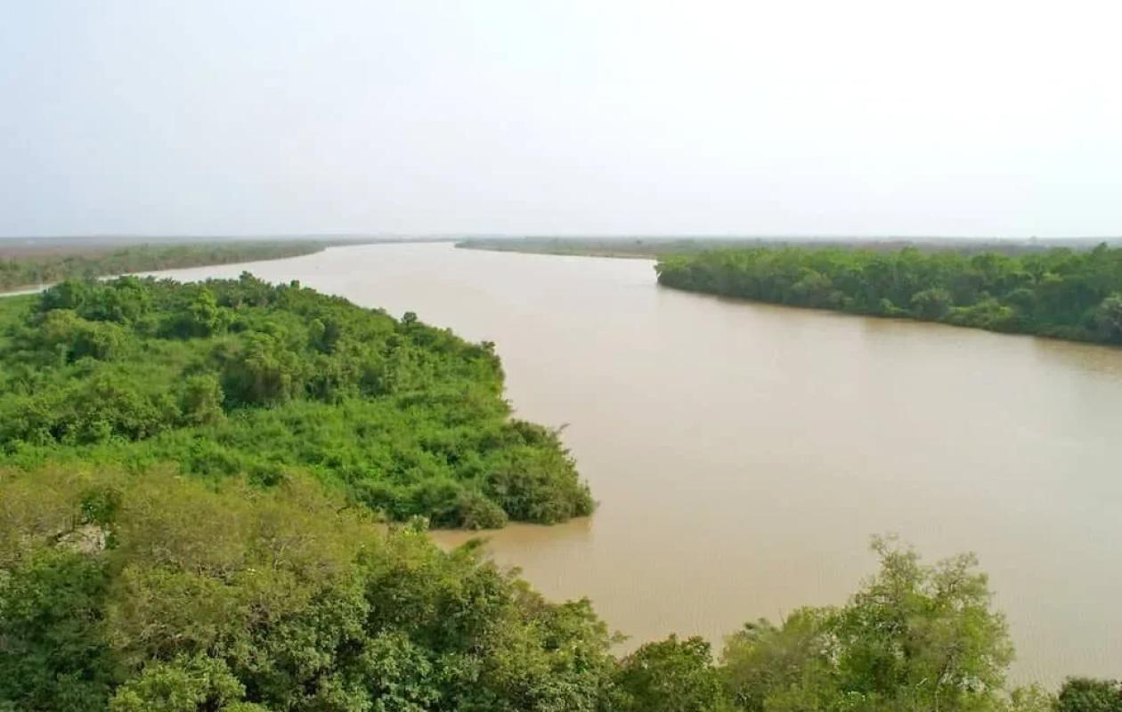
Fleuve Gambie : le niveau des eaux largement sous les cotes d’alerte à Kédougou
The hydrological situation of the Gambia River remains generally reassuring in the Kédougou region. According to the daily hydrological bulletin from the Tambacounda/Kédougou Water Resources Brigade, published on Tuesday, September 15, 2026, several stations are recording contrasting variations, but levels remain well below alert thresholds.
In Kédougou, the water level measured at 8:00 AM was 4.21 meters, compared to 4.28 meters the previous day, representing a decrease of 7 centimeters in 24 hours. The level is 2.79 meters below the alert threshold of 7 meters. Comparison with the same period in 2025 reveals a significant decrease of 2.68 meters, as the level was then 6.89 meters.
In Mako, however, the trend is upward. The river level rose from 3.38 to 3.70 meters, an increase of 32 centimeters in 24 hours. Despite this rise, the level remains 2.30 meters below the alert threshold of 6 meters. Over the course of a year, however, the level is still 1.40 meters lower than that recorded on September 15, 2025.
In Simenti, a slight rise was also observed. The water level reached 5.71 meters, compared to 5.70 meters the previous day, representing a gain of one centimeter. With the alert level set at 13 meters, the difference remains significant, at 7.29 meters. The current level, however, is still 2.09 meters lower than that recorded on the same date in 2025.
The Gouloumbou station, for its part, reports a stable situation with a water level of 6.21 meters, the same as the previous day. There too, the level remains well below the alert threshold of 12 meters, with a difference of 5.79 meters.
At the other monitored stations, the trend is predominantly downward. At Niokolokoba, the water level is 2.43 meters, down 4 centimeters. At Diarha Pont, the decrease is more pronounced, with a drop of 21 centimeters, reaching 1.82 meters. This latter station, however, represents an exception on an interannual basis, as its level is 13 centimeters higher than that observed a year earlier.
In Diaguiri, the water level is at 1.93 meters, compared to 1.99 meters the previous day, a decrease of 6 centimeters. It remains 4.07 meters below the alert level, set at 6 meters. The year-on-year comparison shows a decrease of 2.96 meters.
For Thiokoye, the water level for September 15th had not yet been received at the time the bulletin was prepared. The last available measurement, dated September 14th, indicated a level of 3.07 meters.
Levels generally far from alert thresholds
The summary table thus confirms differentiated trends according to the stations: decrease in Kédougou, Diaguiri, Niokolokoba and Diarha Pont, then increase in Mako and Simenti and stability in Gouloumbou.
Overall, the data available as of 8:00 AM on September 15, 2026, does not show any exceedances of alert levels at the reported stations. The situation therefore remains under observation, particularly due to variations recorded at certain points in the hydrographic network, notably at Mako where a rise of 32 centimeters was observed within 24 hours.


















Commentaires (0)
Participer à la Discussion
Règles de la communauté
💡 Astuce : Utilisez des emojis depuis votre téléphone ou le module emoji ci-dessous. Cliquez sur GIF pour ajouter un GIF animé. Collez un lien X/Twitter, TikTok ou Instagram pour l'afficher automatiquement.
Se connecter
Commentez avec votre profil, votre photo, et soyez averti des réponses.