Inondations : ce que vous ignoriez peut-être
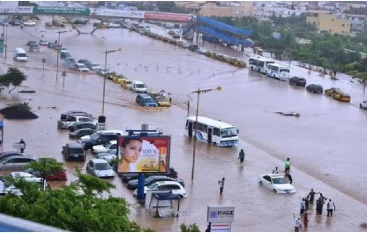
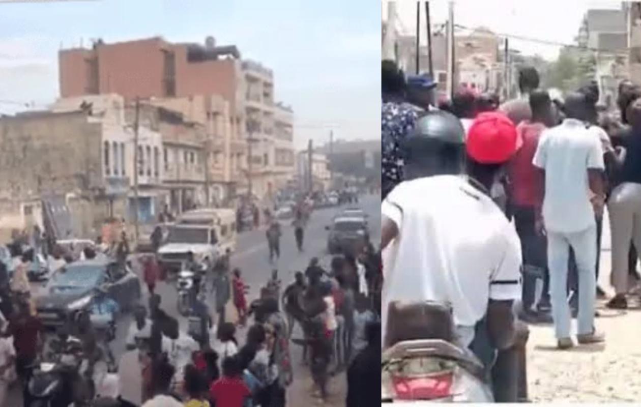
During the night of October 4th to 5th, the Cap-Vert peninsula was struck by intense convective cells. In 24 hours, rainfall reached 142 mm in Rufisque, 137.5 mm in Dakar-Yoff, and 111 mm in Keur Massar. These totals represent a significant portion of the annual average of 476 mm.
Interviewed by Le Soleil, geographer-hydrologist El Hadji Ousmane Ndiaye and geographer-urban planner Souleymane Diallo explain how the natural configuration of the region, combined with uncontrolled urbanization, aggravates the risks of flooding.
El Hadji Ousmane Ndiaye points out that Dakar presents several vulnerabilities: the low-lying areas of the Niayes de Pikine, a shallow water table, and former riverbeds. However, construction has gradually encroached upon these natural spaces. The concreting of the dunes in Parcelles Assainies, Grand Médine, and Guédiawaye has only exacerbated the situation, reducing water infiltration. The filling in of wetlands in Hann Maristes, Thiaroye, and Keur Massar also disrupts drainage, while some road infrastructure obstructs water flow and promotes its accumulation in neighborhoods.
The expert links the occupation of these unbuildable zones (non aedificandi) to the decades of drought that plagued Senegal between 1970 and 2000. Rural exodus intensified demographic pressure on Dakar and encouraged settlement in former depressions and riverbeds that had temporarily dried up. The prolonged decline in rainfall gradually led to a neglect of the risks associated with these areas. The return of heavy rainfall is now highlighting their role in the natural flow of water.
Read also : "Floods in Dakar: the 4 flaws that complicate sanitation"
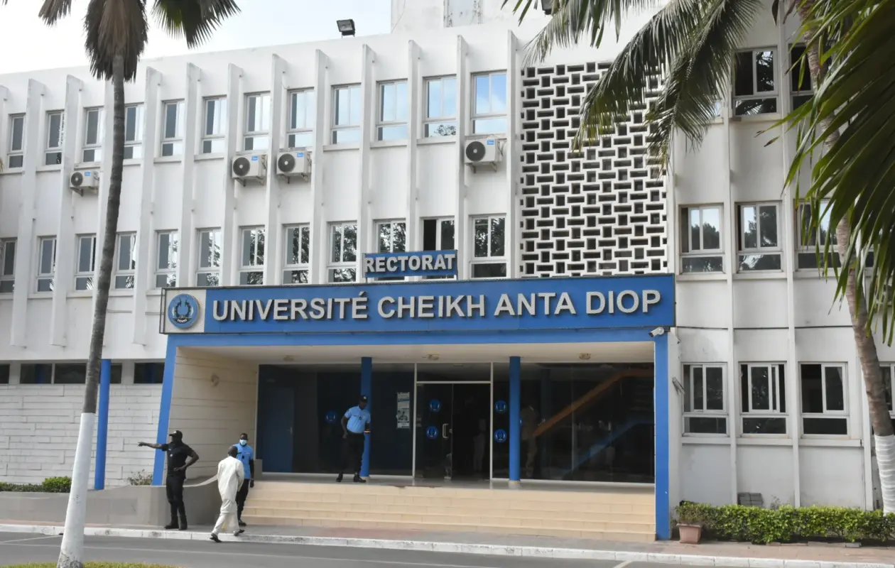
El Hadji Ousmane Ndiaye also emphasizes that risk assessment cannot be limited to the cumulative rainfall recorded over 24 hours. The intensity of precipitation at any given time is also crucial for understanding runoff and sizing hydraulic structures. He further notes that researchers from Cheikh Anta Diop University in Dakar, including René Ndimag Diouf, Honoré Dacosta, and Halima Laaroubi, have already studied watersheds and the mechanisms of urban flooding. Their work constitutes a scientific reference for better flood forecasting.
For his part, Souleymane Diallo points to the shortcomings of urban planning. He estimates that more than 80% of Dakar's housing is self-built and that 25 to 30% of housing is located in informal settlements. According to him, the lack of appropriate urban planning documents and the insufficient enforcement of regulations have complicated land-use control.
For the urban geographer, the new ten-year plan announced by the government should not be limited to the construction of pipelines and pumping stations. The response must also include the restructuring of affected neighborhoods, better regulation of construction, and the preservation of natural spaces necessary for water drainage. According to the source interviewed by the national daily newspaper, it is urgent to integrate hydraulic infrastructure into rigorous urban planning.










Commentaires (1)
Participer à la Discussion
Règles de la communauté
💡 Astuce : Utilisez des emojis depuis votre téléphone ou le module emoji ci-dessous. Cliquez sur GIF pour ajouter un GIF animé. Collez un lien X/Twitter, TikTok ou Instagram pour l'afficher automatiquement.
Se connecter
Commentez avec votre profil, votre photo, et soyez averti des réponses.