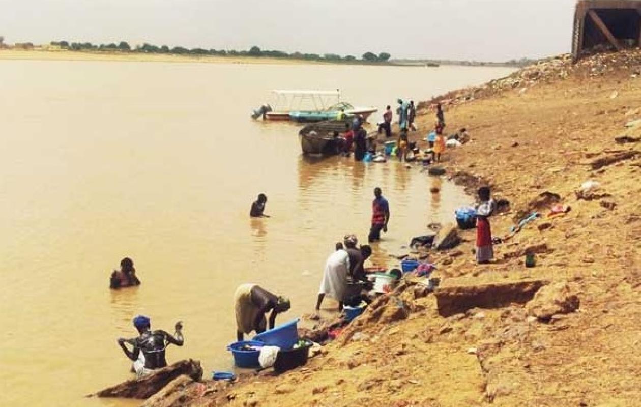
Inondations - Hydrologie : Décrue générale constatée au niveau du fleuve Sénégal et de ses affluents
The receding of the Senegal River is confirmed across the entire basin, with levels everywhere below the alert levels, according to the hydrological bulletin of the Saint-Louis Water Resources Brigade consulted today.
In Matam, the reference station for the Fouta region, the water level was at 6.12 m on Monday at 8 a.m., down 18 cm in 24 hours, compared to 6.90 m on the same date in 2025, according to the document. The alert level there is set at 8 m.
The same trend is seen in Bakel (6.51 m, -7 cm, alert at 10 m), Podor (4.41 m, stable, alert at 5 m) and Saint-Louis (1.06 m compared to 1.51 m in 2025, alert at 1.75 m).
"Overall, the upstream level is being lowered to prepare for the passage of the flood without major consequences on Saint-Louis," the bulletin indicates regarding the Diama dam, where the level is 2.14 m with a release rate of 1,253 m3/s.
Upstream, the Manantali reservoir, which regulates the river, is at 208.14 m, close to its normal level (208.05 m) and far from its exceptional level (211 m), with a discharge flow of 568 m3/s.
The tributaries confirm the decline: the Falémé at Kidira is at 2.94 m (3.61 m in 2025) and the Bakoye at Oualia at 2.48 m (2.52 m in 2025), both down 8 cm over 24 hours.





















Commentaires (1)
Merci pour le partage
Participer à la Discussion
Règles de la communauté
💡 Astuce : Utilisez des emojis depuis votre téléphone ou le module emoji ci-dessous. Cliquez sur GIF pour ajouter un GIF animé. Collez un lien X/Twitter, TikTok ou Instagram pour l'afficher automatiquement.
Se connecter
Commentez avec votre profil, votre photo, et soyez averti des réponses.