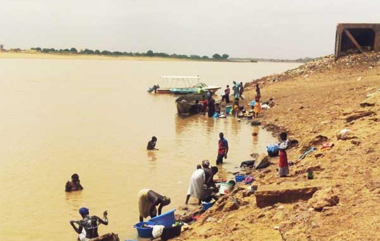
Décrue précoce du fleuve Sénégal : Une baisse significative est enregistrée au niveau de toutes les stations
The level of the Senegal River and its main tributaries recorded a significant drop on September 14, 2026, according to the hydrological bulletin of the Directorate of Water Resources Management and Planning.
At the Bakel station, in the east of the country, the water level is at 4.65 m compared to 8.80 m on the same date in 2025, representing a decrease of 4.15 m in one year and 9 cm in 24 hours. In Matam, the river is at 5.30 m compared to 8.03 m in 2025.
The trend is the same across the entire basin. In Podor, the water level is 3.59 m compared to 5.01 m in 2025. In Richard-Toll, it has reached 2.74 m compared to 3.00 m last year. In Saint-Louis, it is at 0.90 m compared to 1.23 m in 2025.
Tributaries are also affected. The Falémé at Kidira is only 2.82 m compared to 6.74 m in 2025. The Bakoye at Oualia is at 2.58 m compared to 5.25 m.
On the dam side, the Manantali reservoir is at 202.24 m, well below the normal level of 208.05 m and the 2025 level. The turbine flow is only 200 m3/s compared to 701 m3/s in 2025.
Downstream, the level at Diama is 2.06 m, higher than that of 2025. According to the Saint-Louis Water Resources Brigade, the dam is undergoing a gradual lowering to "prepare for the passage of the flood without major consequences on Saint-Louis".
No station is approaching the alert level. It is set at 10 m in Bakel, 8 m in Matam, 5 m in Podor and 1.75 m in Saint-Louis.




















Commentaires (1)
Participer à la Discussion
Règles de la communauté
💡 Astuce : Utilisez des emojis depuis votre téléphone ou le module emoji ci-dessous. Cliquez sur GIF pour ajouter un GIF animé. Collez un lien X/Twitter, TikTok ou Instagram pour l'afficher automatiquement.
Se connecter
Commentez avec votre profil, votre photo, et soyez averti des réponses.