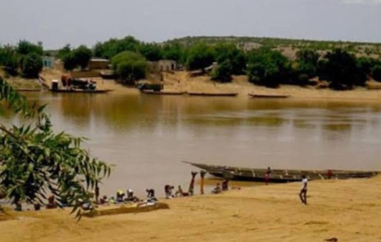
Fleuve Sénégal : Bakel, Matam, Podor et Saint-Louis sous surveillance, les niveaux restent sous les cotes d’alerte
The hydrological situation of the Senegal River remains generally reassuring this Friday, October 23, 2026. According to the bulletin from the Saint-Louis Water Resources Brigade, the levels recorded at the various stations remain below the alert thresholds. A decrease in water levels continues in several upstream areas, while a slight rise is observed at some downstream stations, with no major risk reported at this stage.
The situation on the Senegal River remains under control, despite variations observed at some hydrometric stations. The bulletin data indicates a general decrease in water levels in the upstream areas of the basin, particularly in Bakel and Matam. Downstream, levels have risen slightly in Podor and Richard-Toll, but remain below alert thresholds.
Manantali: near-normal retention
At the Manantali dam, the reservoir level is measured at 208.15 m, almost identical to the level recorded at the same time in 2025, which was 208.14 m. This value remains close to the reference level of 208.05 m and significantly lower than the exceptional level of 211 m. The discharge rate is estimated at 693 m³/s.
These data reflect a relatively stable situation at the dam, in a context of careful monitoring of the hydrological evolution of the basin.
A confirmed decrease in water levels on the tributaries and in Bakel
The drop in water levels is particularly noticeable on the tributaries of the Senegal River. At Kidira, on the Falémé River, the water level is 3.18 m, a decrease of 16 cm in 24 hours. At the same time in 2025, the level was 3.56 m.
On the Bakoye River, at Oualia, the water level reached 2.80 m, a decrease of 22 cm over the last 24 hours. It was projected to be 2.76 m in 2025.
At Bakel, the river level is 6.82 m, a drop of 23 cm in one day. This level remains well below the alert threshold of 10 m.
In Matam, the trend is also downward. The water level has fallen to 6.50 m, after a drop of 6 cm in 24 hours. It remains below the alert threshold of 8 m and is significantly lower than the 7.35 m projected for 2025.
Podor and Richard-Toll: slight increases, but levels under surveillance
In the lower part of the basin, the trend is slightly different. At Podor, the river level stands at 4.40 m, up 3 cm in the last 24 hours. However, it remains below the alert level of 5 m and well below the 5.77 m projected for 2025.
At Richard-Toll, the water level reached 3.03 m, a rise of 3 cm in 24 hours. The station remains below the alert level set at 3.35 m.
These variations reflect contrasting trends across different sections of the river. While the water level continues to recede upstream, the slight rises recorded downstream justify maintaining regular monitoring.
Diama: Releases adapted to flood management
At the upstream Diama level, the river level is 2.15 m, compared to 1.70 m at the same time in 2025. The discharge is 1,222 m³/s, whereas it was 1,834 m³/s a year earlier.
According to the Saint-Louis Water Resources Brigade, the water level is intentionally lowered to prepare for the flood. This management aims to limit the impact on the city of Saint-Louis and facilitate the rapid drainage of water towards the river mouth.
Controlling levels at this strategic point is an important element of the hydrological management system, particularly in a context where flow variations can have repercussions on areas located downstream.
Saint-Louis: a level lower than that of 2025
In Saint-Louis, the river level is measured at 1.18 m compared to 1.47 m in 2025. It remains below the alert level set at 1.75 m. This situation is rather reassuring for the capital of the North, even if the evolution of the river continues to be closely monitored due to the interactions between upstream inputs, the management of the Diama dam and the discharge of water towards the ocean.
The situation is generally reassuring, but requires vigilance.
Overall, the readings from Friday, October 23, 2026, indicate that the stations at Bakel, Matam, Podor, Richard-Toll, and Saint-Louis remain below their respective alert levels. The observed upstream receding water levels and the recorded downstream levels do not, according to the data provided, indicate that critical thresholds have been exceeded.
However, regular monitoring of the stations remains essential to anticipate any significant rise in water levels and prevent potential risks to riverside populations.
At this stage, the main lesson of the bulletin is clear: the Senegal River remains below the alert thresholds, with a marked decrease on several upstream stations and slight variations downstream.






















Commentaires (1)
Participer à la Discussion
Règles de la communauté
💡 Astuce : Utilisez des emojis depuis votre téléphone ou le module emoji ci-dessous. Cliquez sur GIF pour ajouter un GIF animé. Collez un lien X/Twitter, TikTok ou Instagram pour l'afficher automatiquement.
Se connecter
Commentez avec votre profil, votre photo, et soyez averti des réponses.